LiveView
The Live View map is your primary dashboard for tracking your fleet in real time. Vehicles and asset trackers will appear on this map automatically once activated and connected.
Vehicle Visibility & Status
For a vehicle to appear on the map, the device must be plugged in and driven for at least 3 minutes. Moving vehicles update their location approximately every minute. Statuses include:
Driving: Actively engaged in a trip and moving.
Stopped: Stationary with the engine off.
No Signal: Lost cellular/GPS signal for more than 20 minutes.
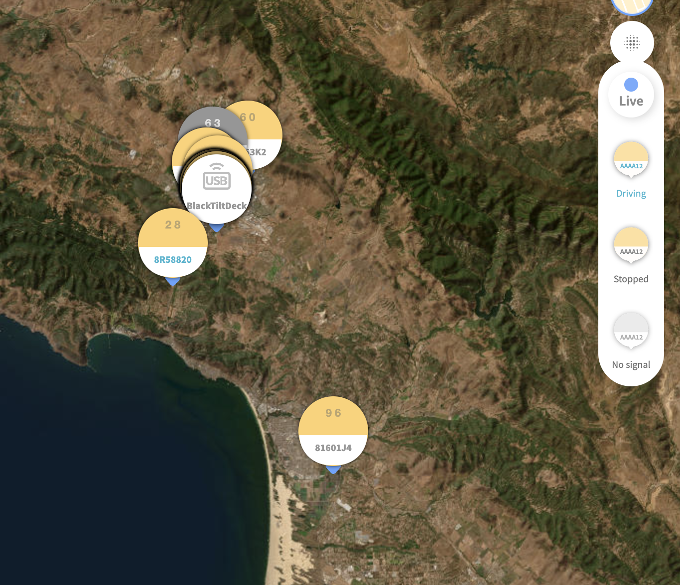 Device Grouping
Driver Tooltip
Hover over any vehicle to view:
Driver Name
Vehicle Make and Model
License Plate
Current Status (Driven, Stopped, or No Signal)
Date and time of the last update
Asset Trackers
Asset trackers appear on the map with a circular marker indicating the tracker type (e.g., USB). Hover over an asset tracker to view its Name and Last reported date and time.
To view an asset tracker's location history:
Click Trackers from the left-side navigation panel.
Select the asset tracker from the list.
Use the Date range fields to select a timeframe and click Search.
The asset tracker's trip history for that date range will populate on the map.
Accessing Trips & Events
Click on any vehicle on the map to open the left-hand side panel, then select Trips to view its history. The map will display the route trajectory along with recorded safety events:
Speeding: Indicated by a red line along the route.
Idling, Hard Acceleration, and Hard Braking: Indicated by designated markers on the map.
Map Display Options
Click the Satellite View toggle on the right column of the map for a detailed geographic view.